
Hard Knott - Lake District Walk
Wednesday 20th July 2011
When we parked the car it looked like we were in for a good day, however by the time we reached the top of Hardknott Pass the cloud had come down and we had no real views for most of the walk. A good day for practising our navigation skills.
Start: Brotherilkeld (NY 2106 0115)
Route: Brotherilkeld - Hardknott Pass - Border End (315) - Hard Knott (316) - Yew Bank (317) - Lingcove Bridge - Brotherilkeld
Distance: 6.5 miles Ascent: 525 metres Time Taken: 4 hours 55 minutes
Terrain: Relatively easy going.
Weather: Low cloud and rain.
Pub Visited: The Woolpack Inn, Eskdale Ale Drunk: Jennings Cumberland
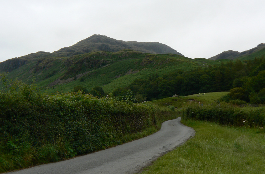
A bit grey but at least the summit is well clear of cloud, we should be in for some good views. Well that's what I thought as I looked up at Hard Knott from the car.
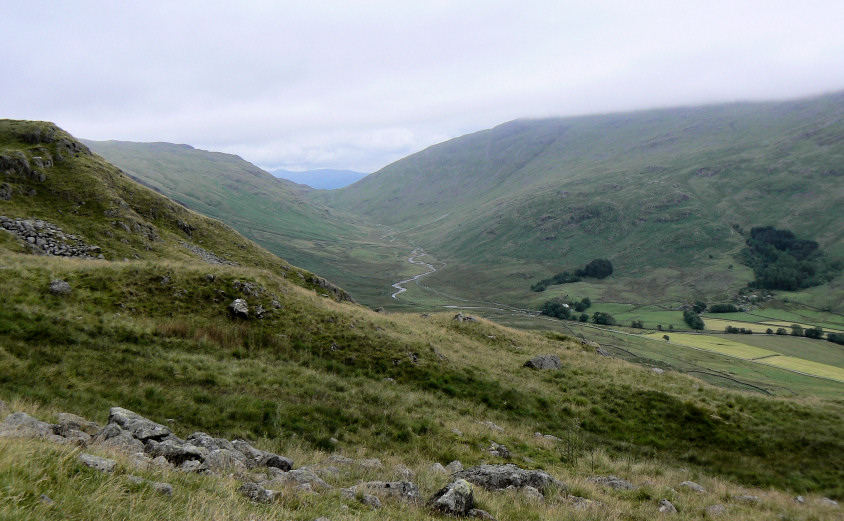
Having slogged our way up Hardknott Pass a quick peep into Wrynose Bottom before we head into the hills
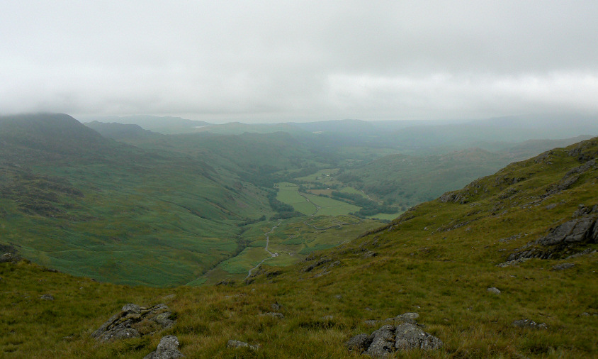
Heading towards the summit of Border End and Eskdale comes back into view.
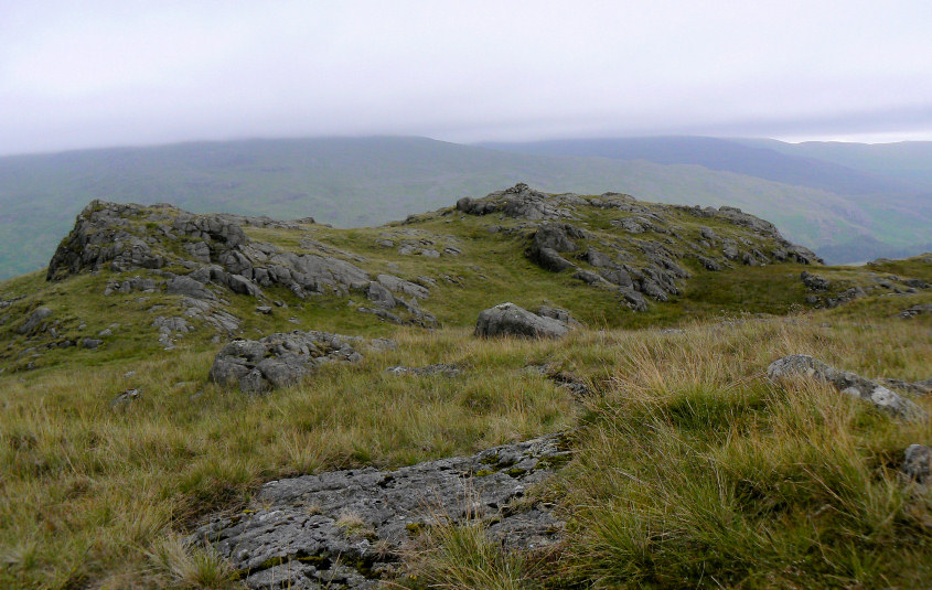
Border End and another game of guess which one is the summit. Is it this one with the cairn?
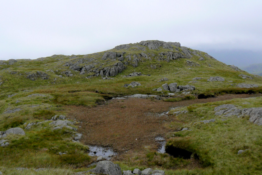
This one that looks higher or could it be the other one we also visited?
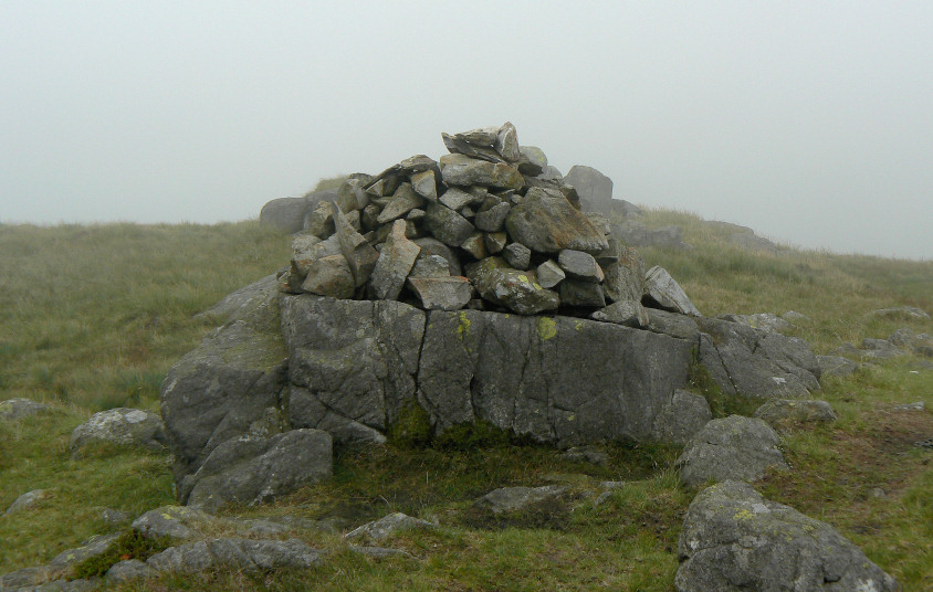
No issues identifying Hard Knott's summit, it was just a shame there were no views.
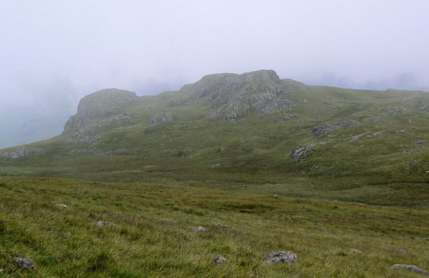
Descending out of the cloud and Yew Bank comes into view.
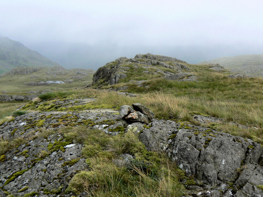
Yew Bank's summit.

The cloud looks like it's staring to lift as we get a view down the Esk Valley.
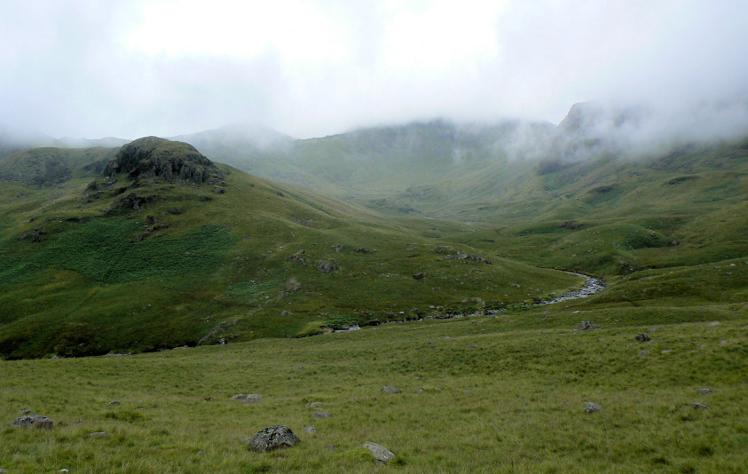
Bowfell and Esk Pike's summits are lost in the cloud as we head for Lingcove Beck.
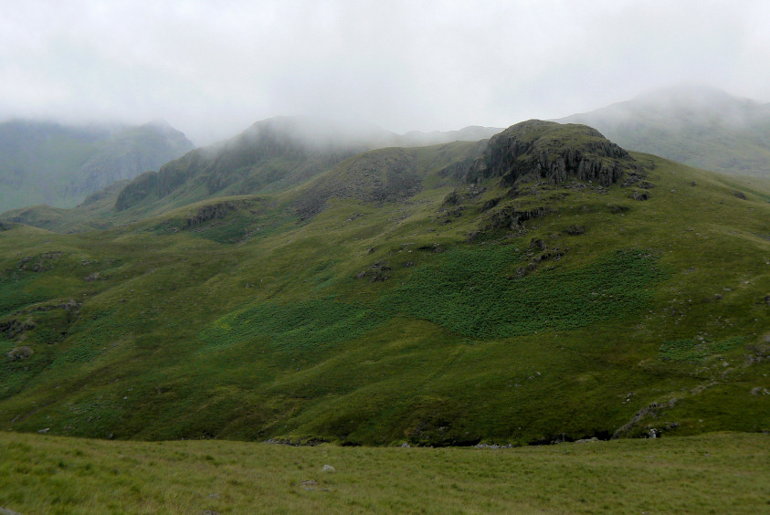
Throstlehow Crag with Scar Lathing disappearing into cloud behind.
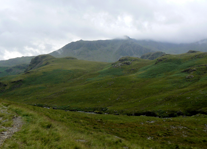
Hold on it might be brightening up. Side Pike and Scafell emerge form the cloud.
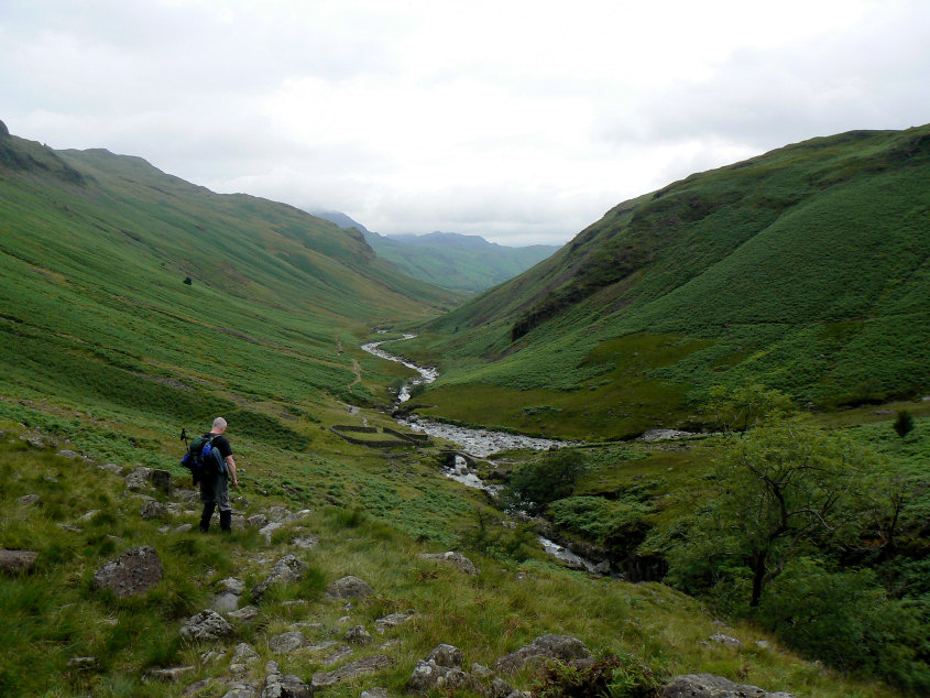
Following the wet and slippery path alongside Lingcove Beck.

Waterfalls on Lingcove Beck.

Apparently there was troll patrolling Lingcove Bridge, but he seemed pretty harmless to me.

A final look up Lingcove Beck as we head down the Esk Valley. It soon started raining again and so it was camera away, head down and lets get back to the car as fast as we can.
All pictures copyright © Peak Walker 2006-2023